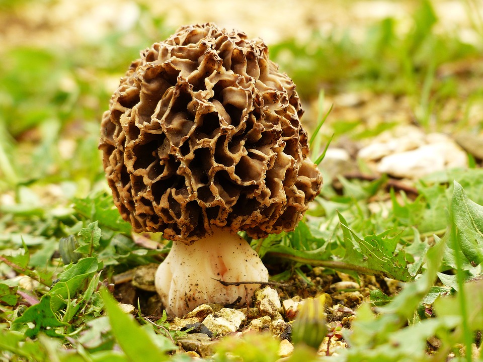
The state of Michigan is trying to make life a little easier for morel mushroom hunters with the development of their Mi-Morels map, hosted on the state’s Department of Natural Resources’ website.
It couldn’t come at a better time as morel season is currently in full swing.
“The Mi-Morels map shows last year where there were fires and prescribed burns on state land that people would have access to that might have a better opportunity to find morels,” Jim Fisher, resource protection manager for the Michigan Department of Natural Resources told The Times Herald.

These mushrooms thrive in locations containing a tree canopy, and burn sites, clear cut areas and blow-downs all make for great future morel habitat. The map details forest cover information along with coordinates and state-managed land boundary information.
While the new map may not be of much use to senior mushroom hunters, it is sure to get those just joining the pastime a leg up when choosing a location to begin their morel hunting journey.
“Just because a spot is marked on the map, it doesn’t mean morels will be growing at the area identified,” Fisher said in a news release. “We’re providing a resource, but it’s up to the hunters to head out to the forest and see what’s available.”
H/T: The Times Herald


